Helpful documents for single and group riding
- ‘The Pace’ and ‘Pace Yourself‘ by Nick Ienatsch are both good reads on riding techniques for single and group riding.
- QUICK TIPS: MSF’s Guide to Group Riding
- 8 Rules for Group Motorcycle Riding by esurance
- CRASH How to Prepare Yourself for the Worst
- Motorcyclist ‘Just Go Ride!‘
Downloads
For Garmin City Navigator NT 2025.1 maps
WeSTOC 28 RidesNT2025.1Ver1.1.zip <– Includes Garmin gdb, gpx and KML files with waypoints and routes.
Magic City Shamrock Tour – or Figure 8
112 miles
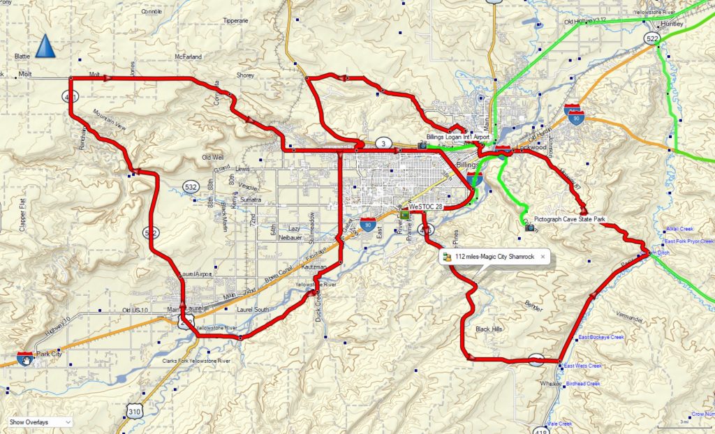
Garmin Topo
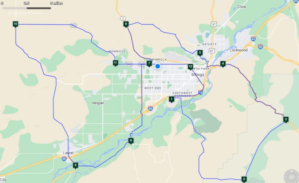
1-2-3-4 PRYOR RD – So Hills loop – twistys
5-6 AKALI CREEK RD – Yellowstone Canyon North Rim and Plateau
7 ZIMMERMAN TRAIL short twist steep ride|
8-9 YELLOWSTONE RIVER RD RIDE
9-10 BUFFALO CREEK RD SWEEPERS
11-12 AIRPORT RD – Yellowstone River Canyon Rims ride
12 Downtown Billings
Magical History Tour
203 miles, including the Big Horn Battlefield journey
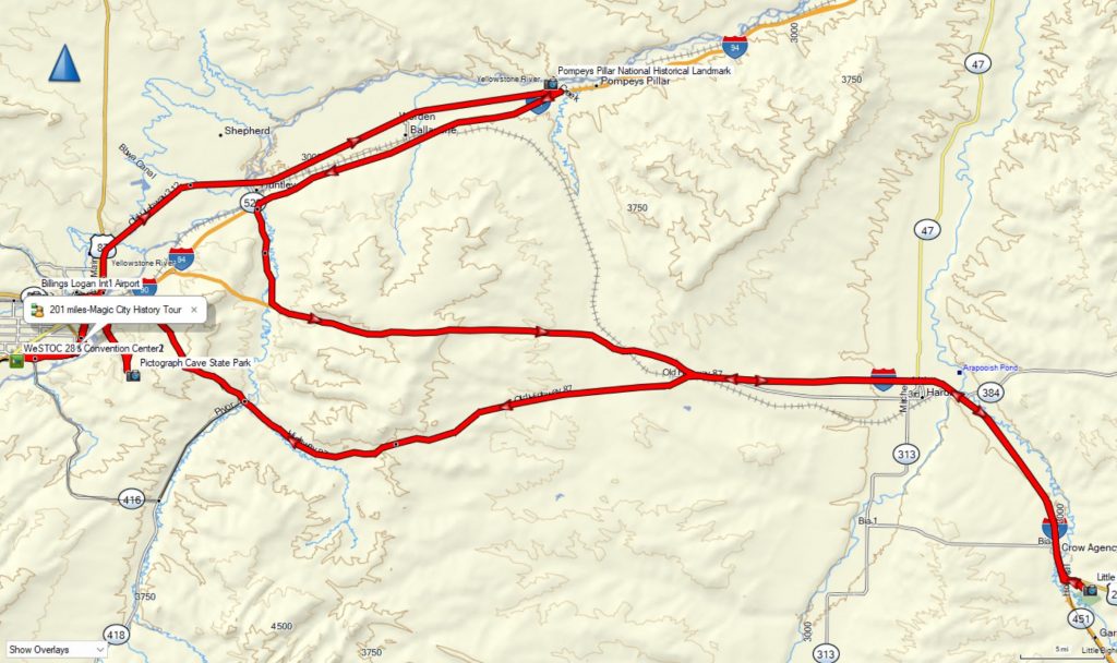
Garmin Topo
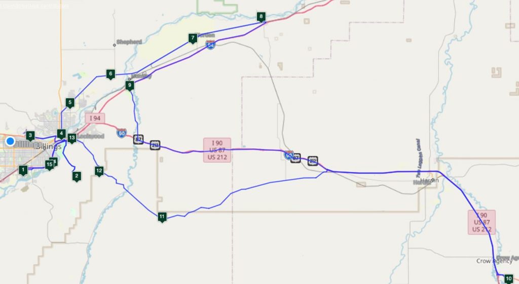
2 Pictograph Caves State Park – super twisty!
3 Yellowstone Museum (at Airport, free parking at the museum)
8 Pompeys Pillar (Lewis and Clark)
10 Little Bighorn Battlefield (Custer)
via old US 10… a few twisty sections along this route.
Bill Pratt Hwy 78 Ride
207 miles
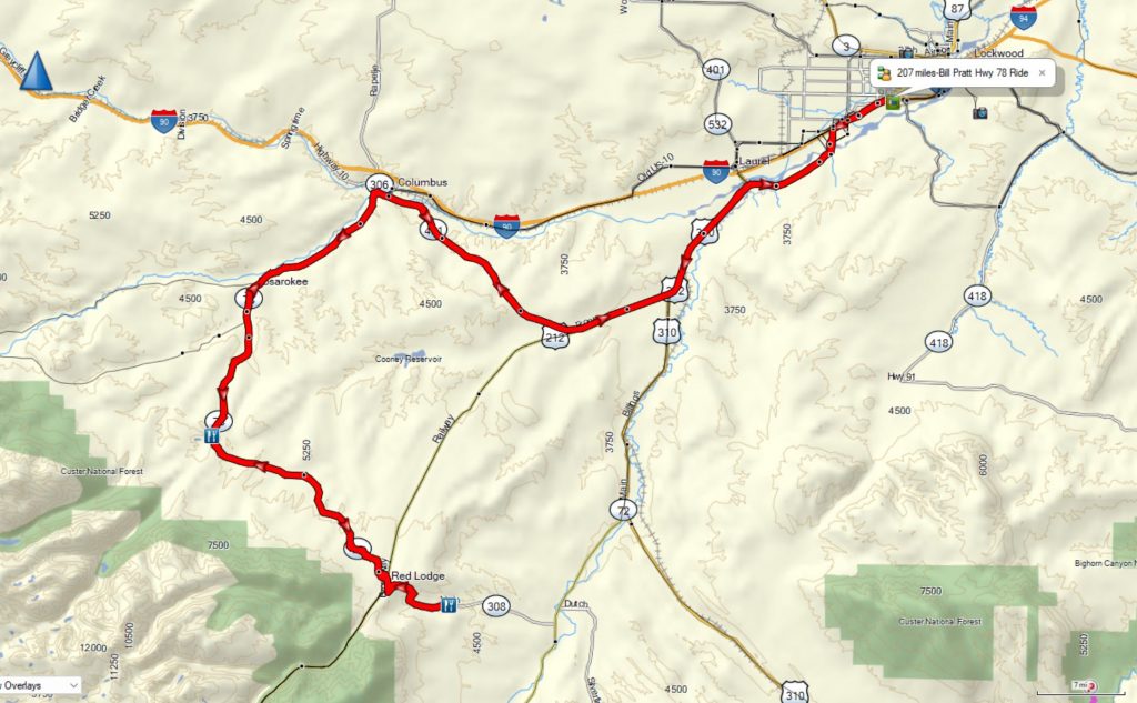
Garmin Topo
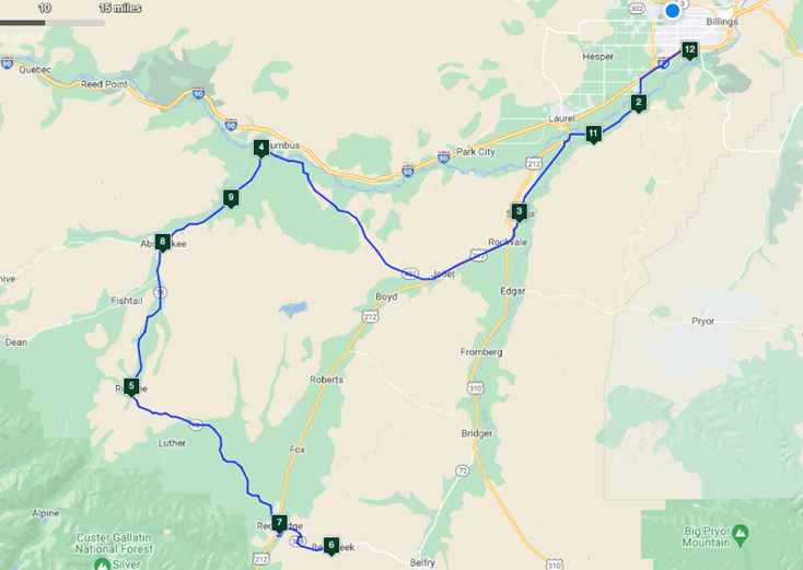
4-5 Ride Hwy 78 both directions, 108 miles of sweepers and fantastic Scenery
5 Get a “Where in the Hell is Roscoe?” tee shirt and eat a Buffalo Burger at the Grizzly Bar
6 This is the foothills of the Beartooth Mountains
7 La Palmita Mexican food in Red Lodge is the best best in Montana
Ultimate Beartooth Foothills Ride
258 miles
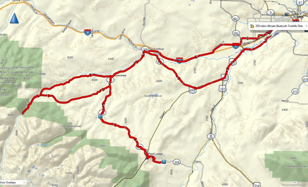
Garmin Topo
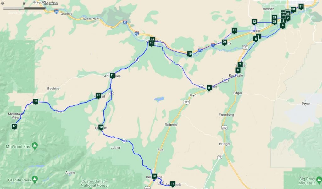
Both directions on BILL PRATT HWY 78 Sweepers and Scenery, oh, my
12 WHERE THE HELL IS ROSCOE, MT? (Buffalo Burger! – get a WTH Tee Shirt)
13 RED LODGE – PALMITA MEXICAN FOOD (Best in Montana)
14 BEARCREEK TWISTIES Smith Coal Mine disaster – Pie is no more 🙁
Bonus sidetrip – 15 FISHTAIL – 16 NYE -17 TRAILHEAD (New pavement! Head for the Hills. Go for a hike, Ranger station is in Red Lodge)
18 COLUMBUS – running late? Crawl onto the 80mph I- 90 straight to the hotel exit
20 PARK CITY! – NO, NOT THAT PARK CITY – Good food at the Truck Stop though.
22 YELLOWSTONE NAT’L CEMETERY
Beartooth-Chief Joseph Scenic Route
265 miles
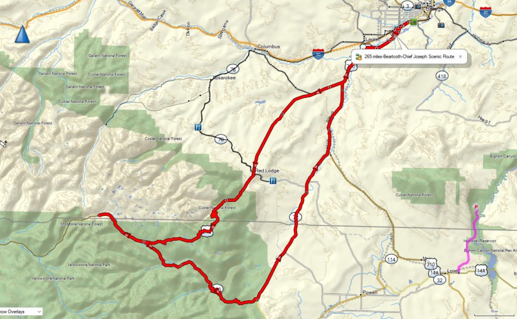
Garmin Topo
BEARTOOTH – CHIEF JOSEPH SCENIC ROUTE
299 Miles with the Cody option –
GREAT MUSEUM IN CODY – LEWIS AND CLARK AND GUN EXHIBITS
RIDE THIS RIDE COUNTER CLOCKWISE
Don’t get caught up on the pass at night!
Mike’s Cooke City-Tower Falls Ride
342 miles
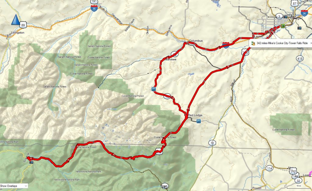
Garmin Topo
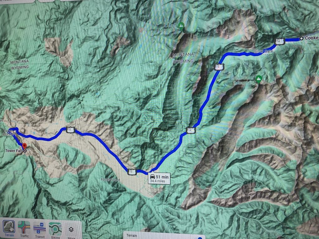
Bonus ride
Big Horns US14-14a
357 miles
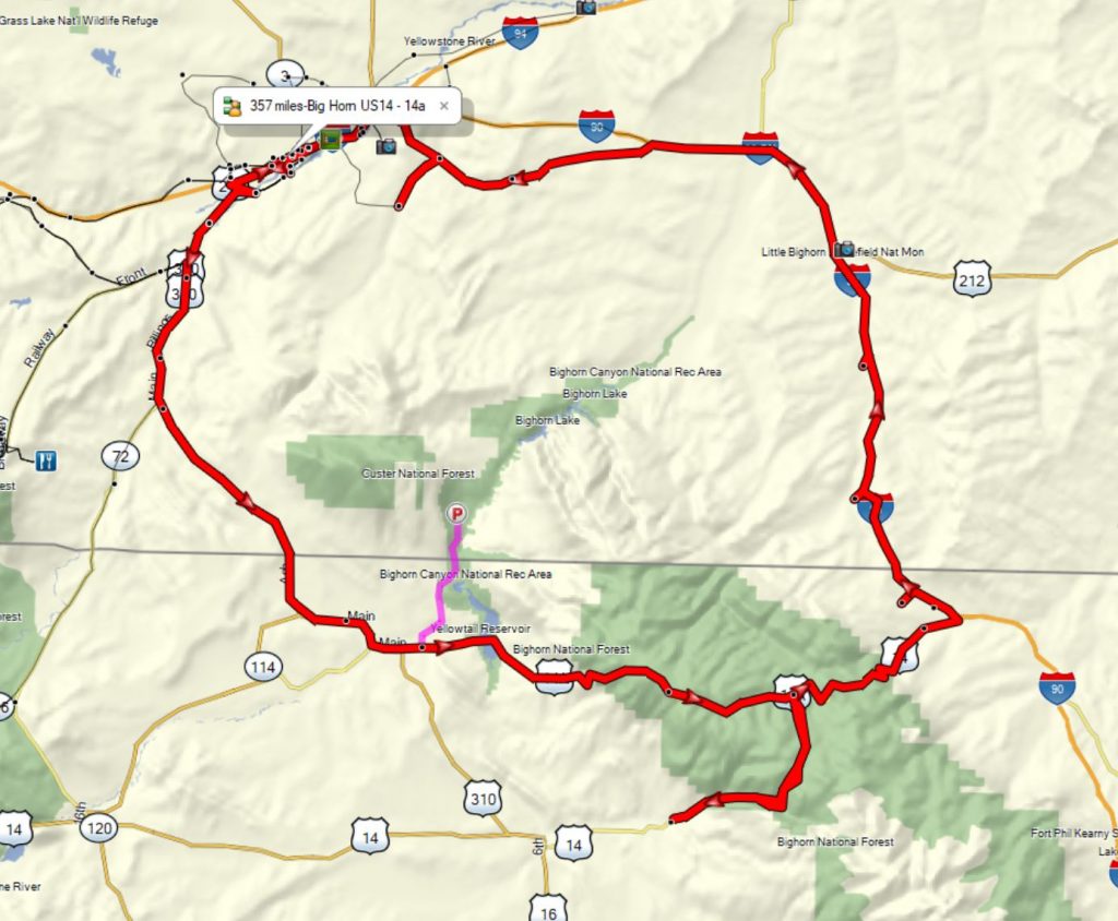
Garmin Topo
This ride should be ridden counter clockwise so that the steep steep part of 14a is ridden uphill.
Includes:
US14a is the longest steepest road in the USA Lovell to Burgess JCT (Eat at Bear Lodge at Burgess Jct).
Shell Canyon Road (US14) both directions.
Old US10 through Parkman, Lodge Grass and Crow Agency.
From Hardin continue on US10 back to Billings to enjoy the 11 mile twisty section near Billings.
Big Horn Canyon (bonus ride)
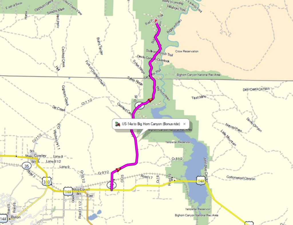
Garmin Topo
A bonus ride to Big Horn Canyon will be detailed in the map room. A Mini Grand Canyon with a wonderful road, wild horses and scenery.
Ultimate Beartooth Range Ride
372 miles
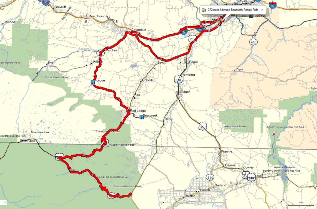
Gamin Topo
Includes both direction of the Beartooth and Dead Indian Passes.
Start early, it gets cool up on the Beartooth as the sun goes down.
Yellowstone Nat’l Park Northern Loop
371 miles
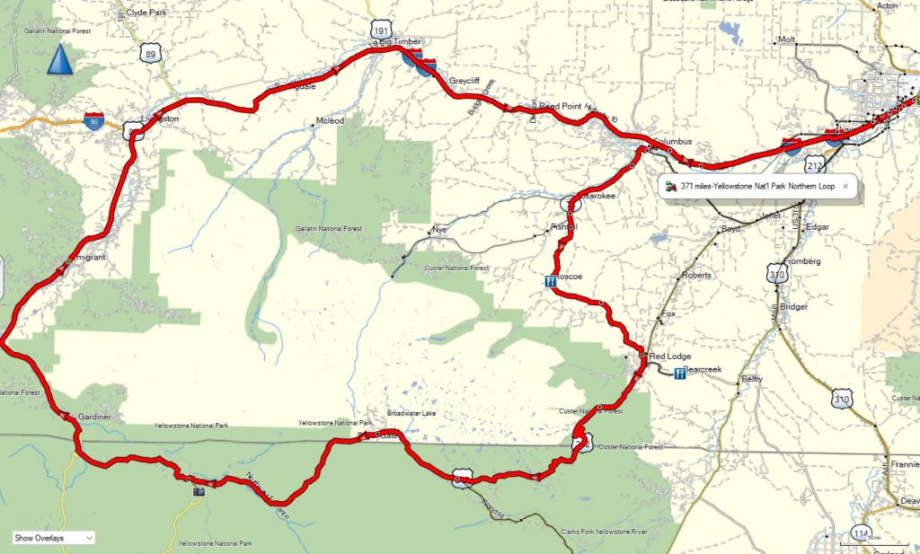
Garmin Topo
Ride the loop clockwise. You do not want to ride the Beartooth Highway at night.
Ultimate Yellowstone Park Tour
396 miles
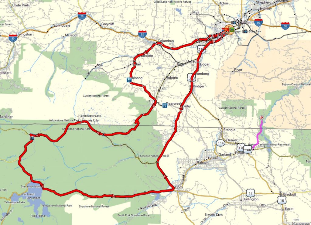
Garmin Topo
Allow 10-12 hours. The traffic gets busy sometimes and the speed limit is 45mph in the Park.
Ultimate Big Horn Tour
546 miles
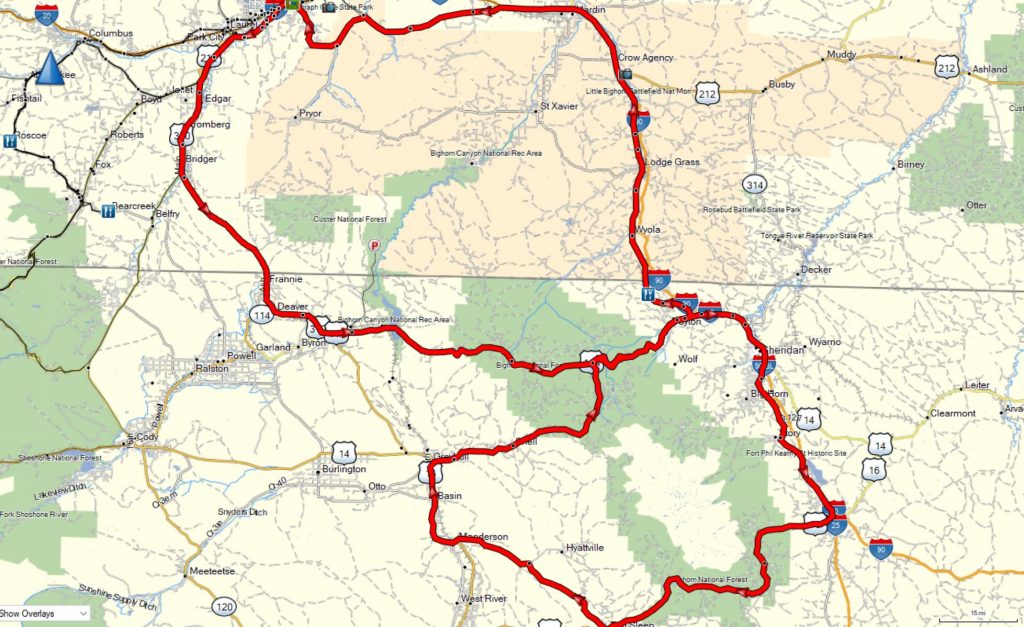
Garmin Topo
Start the loop or figure eight counter clockwise to avoid riding down the steepest portion.
Details in the map room will detail several twisty highlights.
Also check out the Fire Bomber museum at Greybull Airport.
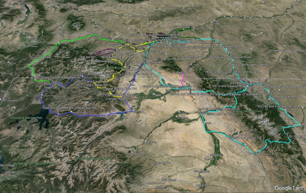
Google Earth KML